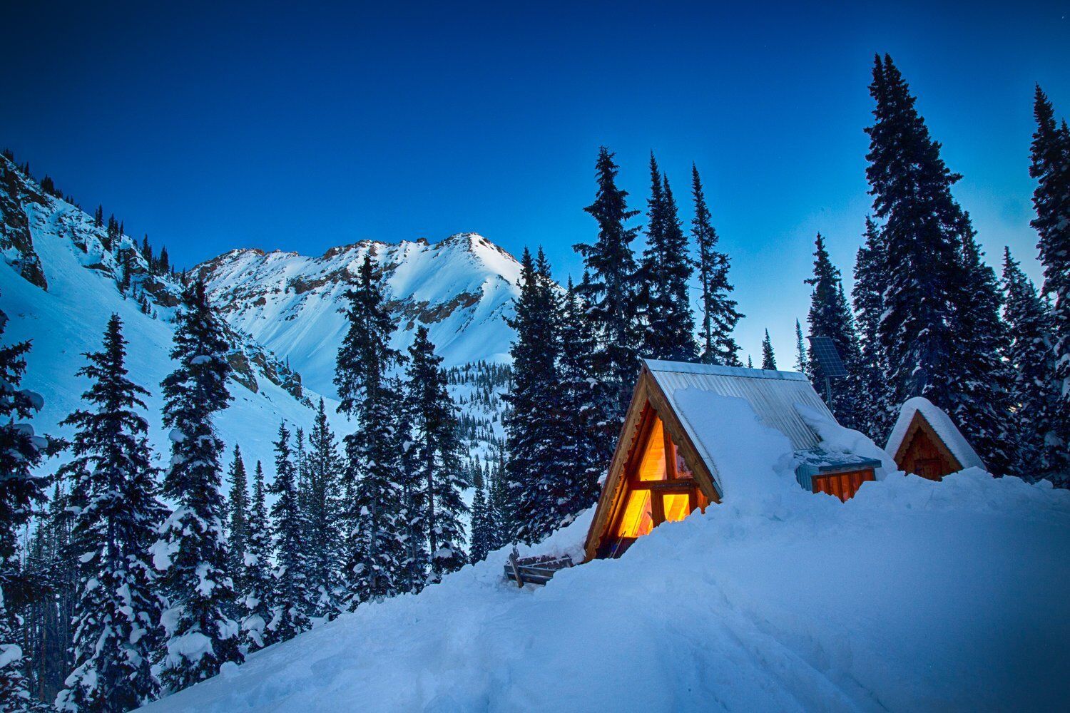
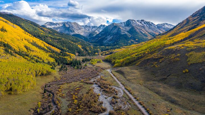
The approach
Five and a half miles and 1,915 feet from the Ashcroft ghost town, up a valley walled by 13,000-foot peaks.
The route
ASHCROFT TH → TAGERT · 9,430 → 11,276 FTThe first mile and a half is a groomed Nordic valley. Everything after the Pine Creek Cookhouse is avalanche terrain.
Park in the Braun overnight lot on the east side of Castle Creek Road at Ashcroft. The Toklat lot on the west side tows. Ski south on the snow-covered Castle Creek Road through the Ashcroft Ski Touring center. Hut users may use the Hunley Nordic trail on the east side of the valley; stay off the other Nordic trails.
Past the Cookhouse the road and the Hunley trail rejoin at the fork of the Cooper Basin and Pearl Pass roads. Follow Pearl Pass Road up the Castle Creek valley. About ½ mile before the hut you pass the Mace cabin on the right, then climb steep switchbacks to the huts on the east side of the creek. Tagert and Green-Wilson sit 50 yards apart; Tagert is the older cabin, originally a dam-keeper's shack from the 1880s silver boom.
Snowmobiles may be encountered on the Castle Creek / Montezuma Basin section. The Pearl Pass Road is closed to motors above the Montezuma junction, ¼ mi below the huts. The Maroon Bells–Snowmass Wilderness boundary runs within 10 ft of the road.
| ID | Waypoint | Mile | Elev ft | Δ ft |
|---|
Timing
WINTER SOLSTICE WEEK · SHORTEST DAYS OF THE YEAR| Day | Civil dawn | Sunrise | Sunset | Dusk | Daylight |
|---|
- 11:00 AM checkout Tue 22 Dec. The ski out drops 1,900 ft and usually takes about half as long.
- The valley floor loses direct sun early behind Hayden and Cathedral ridges. Expect cold shade well before sunset.
Conditions
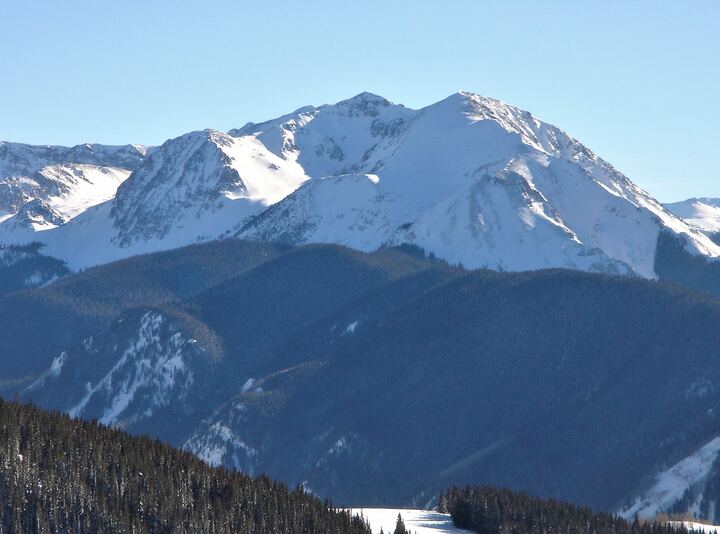
Where avalanches can reach the trail, what the snowpack is doing, and what the sky is forecast to do.
Avalanche terrain
WHERE A SLIDE COULD REACH THE TRAIL| Slopes | Over trail, mile | Acres | Steepest | Faces |
|---|
Avalanche forecasts name the directions that are most dangerous that day, like "east and southeast slopes near treeline". Most of what hangs over this trail faces east and southeast (the West Wall). If the forecast flags those directions, that's this trail.
Snowpack
NRCS SNOTEL · LIVE DAILY · —Installed Sept 2024, uphill of the hut. It measures the snow you will be sleeping on. Its record is only two winters, so long-term context comes from the older stations below.
Weather
NWS GRAND JUNCTION · GRID GJT 155,94 · —Live point forecast for the hut. It won't mean much until about a week out. Watch the snowfall total and wind in the 72 hours before Dec 20.
At the hut
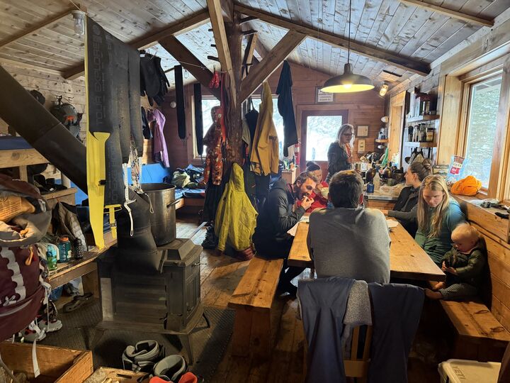
A 140-year-old cabin at 11,280 feet: wood stove, snowmelt, short days and long, bright nights.
The hut
TAGERT · BUILT 1880s · RENOVATED 1960 & 1999 · SLEEPS 7One double and five singles; the singles can be pushed together into doubles. Mattresses and pillows are provided; bring a sleeping bag. Green-Wilson, 50 yards away, is booked separately. Expect another group next door.
Sky & light
SUN, MOON AND STARS FROM THE HUT · COMPUTED AGAINST THE REAL SKYLINEAltitude & water
WHAT 11,280 FEET DOES TO BODIES AND COOKING- Sleep a night up high first. A night in Aspen (7,900 ft) before the climb makes the hut night much easier than flying in and skinning the same day.
- Headache, nausea, bad sleep are normal mild altitude sickness. Drink water, eat, rest. Go easy on alcohol the first night.
- Confusion, stumbling, or breathlessness at rest are serious. The fix is going down, even at night.
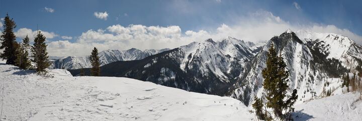
The hut, the valley and the peaks around it
Before you go
Deadlines, the pack list, parking, and what to do if something goes wrong.
Logistics
RES #•••••• · 2 NIGHTS · WHOLE HUT · PAIDFrom Aspen take the Hwy 82 roundabout, follow signs for Castle Creek Road, then drive about 11 miles to the winter closure at Ashcroft.
Park in the east-side overnight lot, head-in. Don't park at Toklat. There's a Forest Service toilet at the ghost-town lot just south. Leave no valuables in the car.
Directions to the lot →Wood stove, firewood, propane burners, pots, pans, dishware and utensils. Also a cooler, snow-melt buckets, solar lights, mattresses and pillows, TP, cleaning supplies, and hut Crocs.
No oven, no fridge, no charging, no water source. Everything is snowmelt, so bring a filter. Sleeps 7: one double and five singles.
- NowEveryone submits the online waiver, one per person
- Nov 20Last day for changes / 80% credit
- Dec 20Same-day avalanche cancellation window
- Dec 22Out by 11:00 AM
The door combination is in the confirmation email the trip lead forwarded. It's deliberately not on this page.
- Pitkin Co. non-emergency dispatch
- (970) 920-5310
- 10th Mtn / Braun reservations
- (970) 925-5775
- Hut position (WGS84)
- 39.00329, −106.83915
- UTM 13S WGS84
- 340758E 4318755N
- UTM 13S NAD27
- 340807E 4318548N
One page: waypoints with coordinates, avalanche stretches, light times, emergency numbers, parking. Print one per person.
Cell coverage along the Castle Creek valley is unreliable. Carry a satellite messenger (inReach or similar). Help is slow to arrive here.